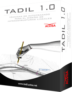
WHAT IS TADIL?
TADIL Road software allows very rapid analysis of tracing road solutions, obtaining the plantaxis with a representation of clearings and embankments, the longitudinal profile, cross sections, the budget and the feasibility study and comparative analysis between alternatives. The software allows the development of rapid calculations or implement all data geographic information system (geotechnical, environmental, planning, weather, etc …). The program also allows for the earthwork balance.
Its use is oriented to administrations and consultancy for the elaboration of previous studies and informative studies, being able to draw conclusions in a very fast way.
DOWNLOAD TADIL Railway CATALOGUE


